You must log in or # to comment.
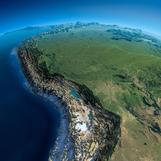
Would probably hit a lot harder in 3D lol
Would be a fun VR map
These kind of relief maps are called “exaggerated”, the vertical scale is different from horizontal. If you would zoom in and look from a closer birds eye like view, mountains would look really unrealistic.
Example from r*ddit:

I love this so much. I want to own a physical version of this relief map
Did you make it or just share it? I love these kinds of maps. A guy online made me some custom ones before for free of an island where I have property, was super nice of him. Your style looks different though, I really like it.
Where? No source? No download/online-map?
source is already there under the map, down and left, look closer
Ah, thanks.


